Western Regional Office
The Western Regional Office is located in Murphy, serving communities in Haywood, Jackson, Macon, Swain, Graham, Clay and Cherokee counties in North Carolina, and Town and Union counties in Georgia.
90 Tennessee St. Suite D
Murphy, NC 28906
Phone (828) 837-5414
![]()

Callie Moore, Western Regional Director

Tony Ward, Western Regional Program Coordinator
MountainTrue West News
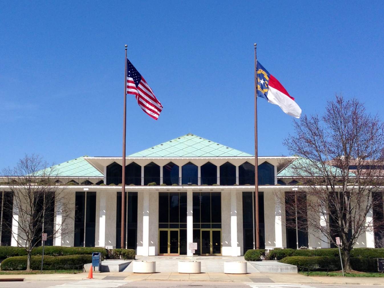
MT Raleigh Report: MountainTrue Advocates for Environmental Progress Amid North Carolina’s 2024 Legislative Session
This week marks the beginning of the 2024 session of the North Carolina General Assembly. With elections looming in the fall, many lawmakers would like to see the legislature get in and out of session as quickly as possible and avoid taking up controversial issues...
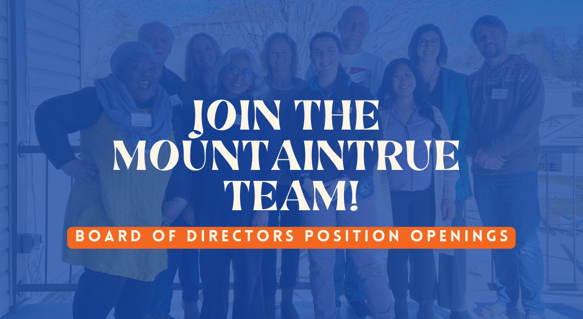
Join MountainTrue’s Board of Directors!
MountainTrue seeks a diverse board representing its service areas, including different areas of expertise and life experiences. If interested, please complete the board member application and attach your CV/bio.
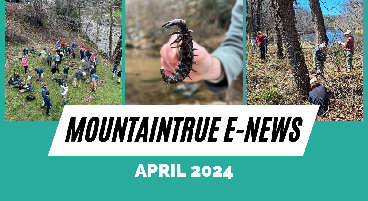
MountainTrue’s April 2024 E-Newsletter
April news from MountainTrue’s four regional offices in the Southern Blue Ridge. Read the blog version of our monthly e-newsletter!

Support The REDUCE Act to Cut Down on Plastic Waste and Encourage Recycling
Contact Congress to let them know that you support The REDUCE Act, introduced by Senator Sheldon Whitehouse and Congressman Lloyd Doggett. This important bill outlines a strategy to reduce plastic production and plastic waste by limiting the use of new, non-recycled...
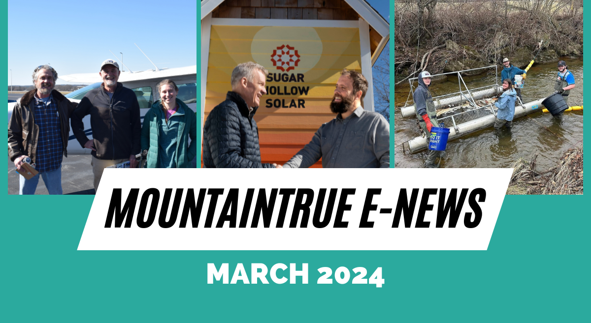
MountainTrue’s March 2024 E-Newsletter
March news from MountainTrue’s four regional offices in the Southern Blue Ridge. Read the blog version of our monthly e-newsletter!
Aqua Services Proposal Chosen for Control of Parrot Feather in Lake Chatuge
MountainTrue and Save Lake Chatuge are excited to announce that a proposal from Aqua Services has been selected for control of the invasive parrot feather in the southern end of Lake Chatuge this year. The company will utilize two airboats, both capable of surface and...
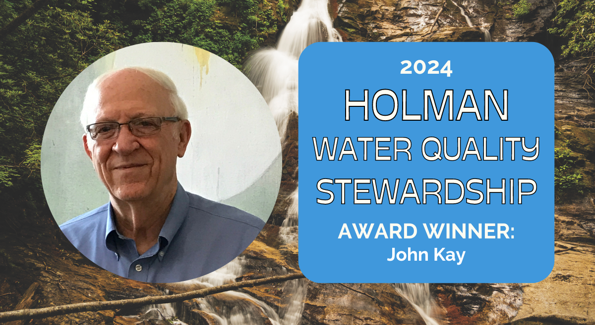
2024 Holman Water Quality Award Winner: Rev. Dr. John Kay of Young Harris, GA
John Kay of Young Harris, GA, is the 2024 recipient of the Holman Water Quality Stewardship Award Rev. Dr. John Kay of Young Harris, Georgia, received the 2024 Holman Water Quality Stewardship Award at MountainTrue's 16th Annual Hiwassee Watershed Gala in the Charles...
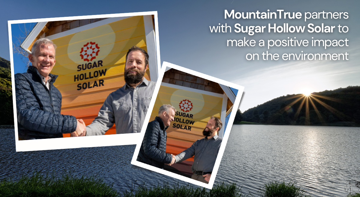
Making a Difference in the Blue Ridge Mountains: MountainTrue and Sugar Hollow Solar Join Forces
Photos: MountainTrue Executive Director Bob Wagner (left) and Sugar Hollow Solar CEO and co-founder Doug Ager (right). Something exciting is brewing in the heart of the Southern Blue Ridge Mountains — a new collaboration between MountainTrue, an organization deeply...
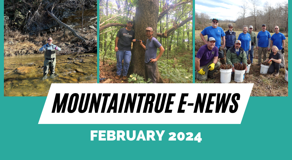
MountainTrue’s February 2024 E-Newsletter
February news from MountainTrue’s four regional offices in the Southern Blue Ridge. Read the blog version of our monthly e-newsletter!
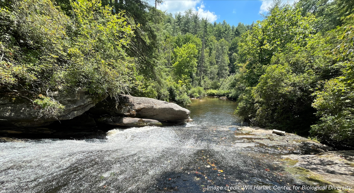
It Shouldn’t Take A Lawsuit to Make the Forest Service Comply With Federal Law
Pictured above: Part of the Nantahala National Forest within the scope of the Southside Timber Project. Photo credit: Will Harlan, Center for Biological Diversity, via Michaela Gregory of the Southern Environmental Law Center. A letter to MountainTrue supporters...